Crop Stand Count & Population Density Checklist
Unlock insights into your farmland! This Crop Stand Count & Population Density checklist for Agriculture helps optimize resource allocation, predict demand, and boost yields. Discover crucial data points & simplify your farm management today!
Crop Stand Identification & Location
This section focuses on locating and identifying all crop stands within the designated area. Includes verification of ownership and type of goods sold.
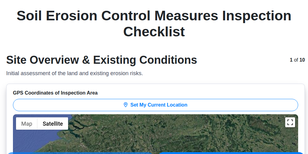
Crop Stand GPS Coordinates
Crop Stand Name (if applicable)
Crop Stand Ownership Type
Description of Crop Stand Appearance & Features
Types of Products Typically Sold
Owner/Contact Person (if available)
Approximate Stand Size (sq ft)
Crop Stand Count
Detailed counting and recording of all identified crop stands. Includes differentiation between permanent and temporary stands.
Total Number of Crop Stands Identified
Number of Permanent Crop Stands
Number of Temporary/Seasonal Crop Stands
Primary Crop(s) Sold (select all that apply)
If 'Other' selected for primary crops, please specify:
Stand Type (e.g., Roadside, Market Square, Farm Gate)
If 'Other' selected for stand type, please specify:
Date of Crop Stand Count
Population Density Assessment
Evaluation of population density within and around areas with crop stands. Considers both residential and transient populations.
Estimated Resident Population (within 1km radius)
Estimated Transient Population (daily/weekly visitors)
Primary Population Type
Notes on population characteristics (age demographics, income levels, etc.)
Nearby Amenities Influencing Population
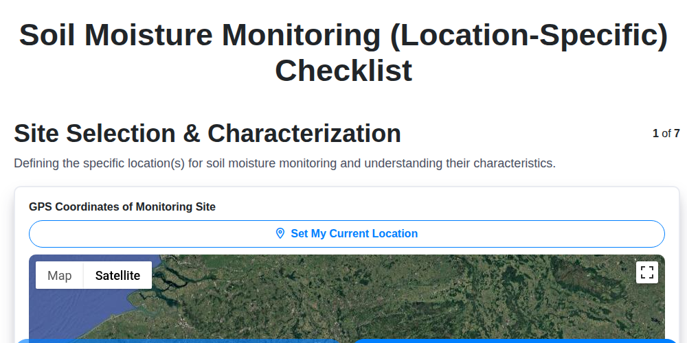
Centroid of Population Assessment Area
Vehicle Traffic Count (average daily)
Spatial Data Recording
Recording precise geographic coordinates (latitude/longitude) for each crop stand location. Utilize GPS or other mapping tools.
Crop Stand GPS Coordinates (Latitude)
Crop Stand GPS Coordinates (Longitude)
Elevation (meters)
Accuracy of GPS Reading (meters)
Data Collector Initials
Date of GPS Recording
Time of GPS Recording
Notes on GPS Conditions (e.g., Signal Strength)
Data Validation & Cross-Referencing
Verify collected data against existing records, aerial imagery, and local knowledge to ensure accuracy and completeness.
Verify Stand Ownership Records
Comparison of Reported Stand Count vs. Aerial Imagery Count
Data Source Cross-Reference
Notes on Discrepancies
Location of Confirmed Discrepancy (If Applicable)
Date of Data Source Verification
Verification Team Member Initials
Found this Checklist Template helpful?
Agriculture Management Solution Demo
Running a farm or agricultural business is complex. ChecklistGuro's Work OS platform simplifies your operations, from crop planning and irrigation management to livestock tracking and harvest scheduling. Increase efficiency, reduce waste, and boost yields! See how ChecklistGuro can revolutionize your agriculture business.
Related Checklist Templates


We can do it Together
Need help with
Agriculture?
Have a question? We're here to help. Please submit your inquiry, and we'll respond promptly.